The highest and lowest tides of the year, all in the same day
Each year, the annual king tides provide for a dramatic experience along our beaches. Both January 11 and 12 will begin with a 7 ft.+ high tide that swallows many of San Diego's beaches, allowing us to visualize the future of our coastline as sea levels rise. It's the best preview we have of what normal high tides will look like after 1-2 feet of sea level rise, which is expected in the next 30-50 years. King Tides often produce flooding in low-lying areas near the coast. However, the real danger comes when a large swell coincides with these extra high tides, like what happened in 2023 on both January 6 and again several times in late December.

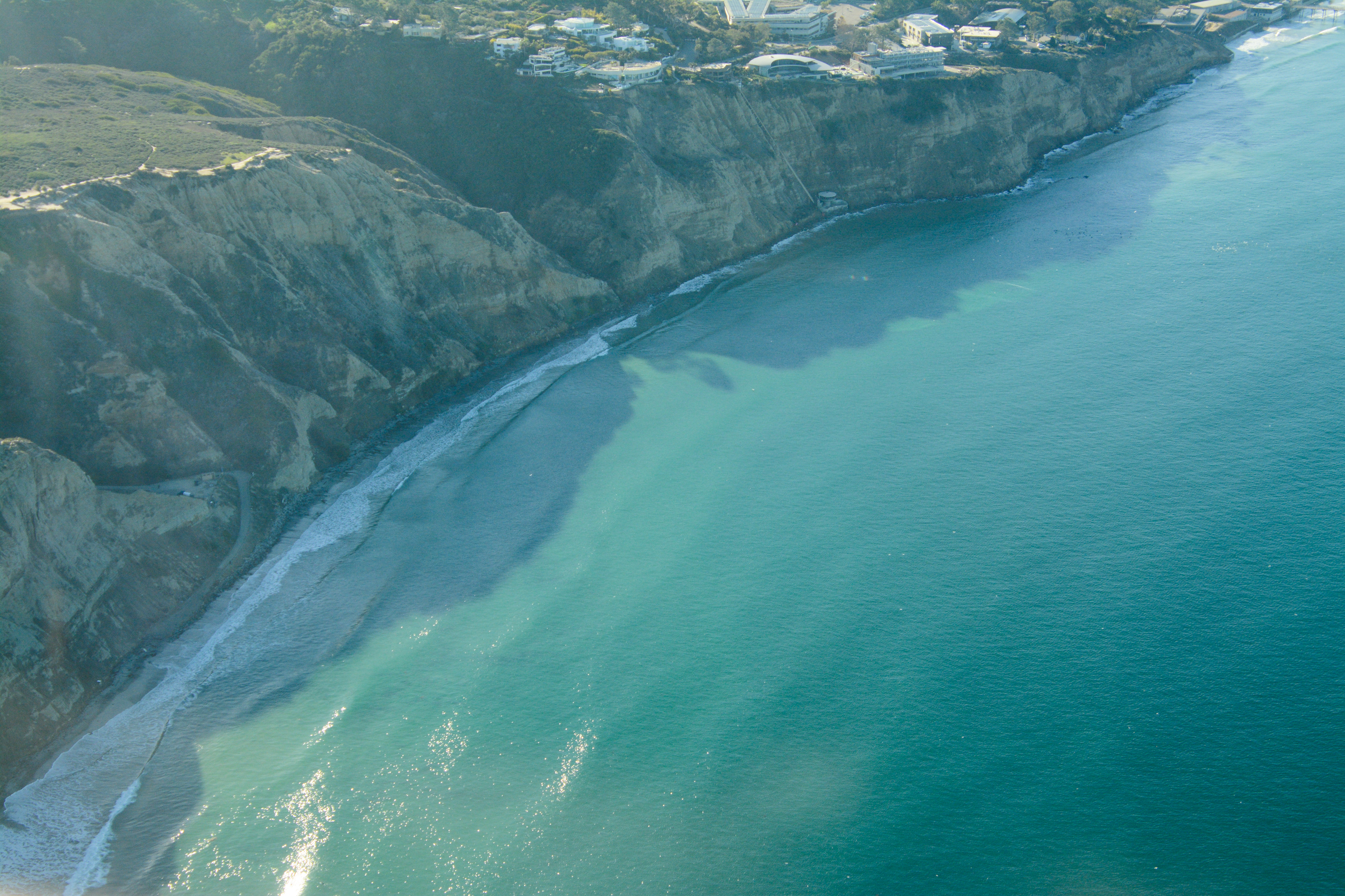
Oceanside Blvd. beach access at the extreme high and low tides
The lows
But that's not all. As we approach sunset, the tides then recede to a negative low that reveals the widest, most walkable beaches of the year. If you love tidepooling or want to try it, then you won't want to miss this opportunity (more on that HERE).
*Also, join us for a low tide beach walk in La Jolla on January 11 at 330pm!
Our Beach Preservation Committee documents the king tides each year at various San Diego County beaches in order to create a visual aid for coastal policymakers and the general public. We achieve this by enlisting willing volunteers to help us document both the high and low tides. Here is our compilation video from last year for reference:
Observe & document on January 11 & 12, 2024
For the upcoming January dates, we would like to crowdsource both high and low tide video and photos of as many San Diego County beaches as possible. While GoPro time lapses and drone videos are welcome, most smartphones can capture compelling footage of the high tide, the low tide, or both.
Below are NOAA's predicted high and low tides for December 23-24 and January 21-22. Please note these predictions are for La Jolla; exact timing and height of the tide extremes will differ slightly as you move up and down the coast. For more accurate predictions, we suggest the NOAA site, Surfline, or any number of free tide sites.
Thursday, 1/11: high tide 8:20 AM, low tide 3:38 PM
Friday, 1/12: high tide 9:05 AM, low tide 4:18 PM
Tide swings are gradual. If you're unable to observe and/or capture footage at the exact high or low tide time, that's OK. We suggest arrival within 30 min- 1 hour of the stated high and low tide times at the beach site you choose to visit.

Torrey Pines State Beach, underwater.
How to document the king tides

We prefer video footage, although photos are welcome too. Here are some helpful guidelines to make the most of your documentation.
- If you're using a phone, please hold your screen in the horizontal/sideways position to optimize a wide angle that is better for Youtube-style videos.
- We typically use snippets between 3-15 seconds long.
- For the HIGH TIDE, we're looking for:
-
-
- Beach loss in areas where beaches usually exist during normal tide conditions.
-
Flooding of coastal infrastructure, i.e. the ocean breaching onto roads, walking paths, parking lots, lifeguard towers under water, etc.
- Waves overtopping any infrastructure (private property, roads, access paths, etc.).
- Footage needs some land-based reference to be compelling - parking lot, riprap revetment or seawall, lifeguard tower, beach access staircase, etc. It's difficult to gauge the king tide effect if footage only shows waves washing ashore on a sandy beach without references.
- Please be mindful of your safety and keep a safe distance from the observed high tide line (especially if there is a good swell that day). Safety first!
-
- If you're able to capture both high and low tide footage, please return to your same spot in the afternoon to capture low tide images. It will be worth it as you'll be able to stay for sunset!
- If you operate a drone or have high quality videography equipment and would like to contribute at a priority beach site, please email beachpres@sandiego.surfrider.org to coordinate.
- Volunteers are welcome to document at the beach of their choice. However in hopes of compiling footage that is both compelling and useful for our beach preservation efforts, we've created a public Google Sheet with some suggested beaches to document. Please sign up to any location that you'd like to observe and document. For any questions, please email beachpres@sandiego.surfrider.org.
- Beaches aren't the only thing worth observing and documenting - any body of water affected by tidal swings can be compelling. Examples include Mission Bay, San Diego Bay, and coastal wetlands (the Bayshore Bikeway in Imperial Beach, for example, often floods during the king high tides).
What's a king tide anyway (i.e., the science)
King tides are, quite literally, a cosmic phenomenon. Our daily tide swings are caused by the gravitational pulls of the moon and the sun. They become strongest during a full and/or new moon, when the sun, moon, and Earth's orbits align. These larger tide swings, which typically occur twice a month, are referred to as 'spring tides.' However, when the moon is at its closest position to Earth (or "perigee") during a spring tide, it's called a 'perigean spring tide.' Technically speaking, what we casually refer to as annual king tides are, in fact, perigean spring tides. If you'd like to geek out on this even more, check out NOAA's website HERE.

*Source: NOAA